Suru Valley & Zanskar Highway Transit Log • Kargil → Padum
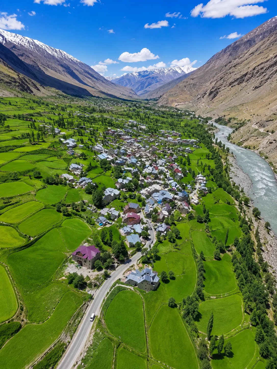

The 234 km road from Kargil to Padum along National Highway 301 (NH-301) is one of the most dramatic, remote, and awe-inspiring Himalayan road trips. Winding along the surging waters of the Suru River and climbing toward the windswept heights of Pensi La Pass (4,400m / 14,435 ft), this route serves as the primary overland artery connecting Kargil with the ancient kingdom of Zanskar.
Route Breakdown & Major Milestones:
1. Kargil to Sankoo (42 km): A pleasant initial drive on paved tarmac tracing the Suru River through verdant apricot orchards, willow clusters, and peaceful Balti and Purig settlements.
2. Sankoo to Panikhar & Parkachik (48 km): As the valley narrows, dramatic vistas of Mount Nun (7,135m) and Mount Kun (7,077m) dominate the horizon. At Parkachik, the colossal tongue of the Parkachik Glacier plunges directly toward the river bed.
3. Parkachik to Rangdum (45 km): The landscape shifts dramatically from green alpine meadows into vast, wind-carved wilderness. Perched atop a solitary hillock in the middle of the valley floor stands the historic 18th-century Rangdum Monastery (Gelugpa order).
4. Crossing Pensi La Pass (4,400m): The high mountain gateway to Zanskar. Right at the pass summit lie the serene twin glacial lakes of Stat Tso and Lang Tso, followed immediately by the staggering panorama of the Drang-Drung Glacier—one of Ladakh's largest accessible glaciers.
5. Pensi La to Padum (99 km): Descending along the Stod (Doda) River into the heart of Zanskar, passing the ancient villages of Ating, Tungri, and Sani Monastery before arriving in Padum.
Crucial Travel Tips for the Journey:
- Travel Time: Expect 8 to 10 hours for the complete 234 km drive, allowing time for photography and high-altitude breaks.
- Vehicle Choice: High-ground-clearance SUVs or 4x4 vehicles are strongly recommended due to ongoing NH-301 road widening and rough gravel stretches between Parkachik and Rangdum.
- Fuel & Logistics: Fill your fuel tank to capacity in Kargil. There are no reliable commercial fuel pumps between Sankoo and Padum.
- Best Travel Season: June through October, when Pensi La is clear of heavy snow and road conditions are most favorable.
💬 Comments (2)
Join the Discussion