THE HIMALAYAN FRONTIER

Exploring Kargil, Zanskar & Leh

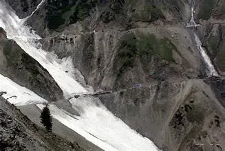
I was born and raised here in Kargil, where life is shaped by the rhythms of the mountains. I grew up walking beneath the heavy apricot blossoms that blanket our town each April and watching the winter blizzards seal off Zoji La Pass until spring. I built this guide to give travelers real-time, on-ground intelligence for navigating Ladakh, Zanskar, and our remote valleys.

Check Highway Status Ask a Local Guide →
Written & Curated by Zulkarnain — Kargil Native & Local Guide
Last verified on-ground: September 2026
🏔️ Local Ground Dispatch • Kargil Field Base September 2026
Base Camp: Baroo & Biamathang, Kargil Town (2,676m)
Field Guide: Zulkarnain (Born & Raised in Kargil Valley)
Active Corridors: NH-1 (Zoji La to Leh), NH-301 (Suru Valley to Padum), Shinkula
Direct Support: Direct traveler replies & road conditions updated weekly

Local Perspective: Every guide on this portal is penned from real tyres-on-gravel expeditions—not scrapers or generative summaries. Whether navigating black ice at North Pullu or timing glacial stream surges in Suru Valley, you get verified local knowledge directly from Ladakhis living here year-round.

Essential Travel Quick-Facts

🏔️

Altitude Advisory

Kargil sits at 2,676m (8,780 ft) and Leh at 3,500m (11,500 ft). Spend at least two nights resting at this altitude before climbing higher passes like Khardung La (5,359m) or Umling La. Review the high-altitude health advisory from the Ladakh Tourism Department before ascending.

📜

Permits & Regulations

No permits are required for Kargil town, Drass, Suru Valley, or Zanskar (Padum). Inner Line Permits (ILP) are mandatory for protected border zones including Pangong Tso, Tso Moriri, Hanle, and Nubra Valley. Domestic and international permits can be verified via the official LAHDCL Leh Portal. Last verified on-ground: September 2026.

🚗

Pass Status & Vehicles

National Highway 1 (Srinagar-Leh) is suitable for all standard passenger vehicles during summer. For Pensi La, interior Zanskar routes, and high passes, a high-ground-clearance SUV or 4x4 is strongly recommended due to stream crossings and active road widening. Check our Live Road Status daily. Last verified on-ground: September 2026.

Exploring Kargil, Suru & Zanskar: A Local's Perspective

Suru Valley & The High Peaks

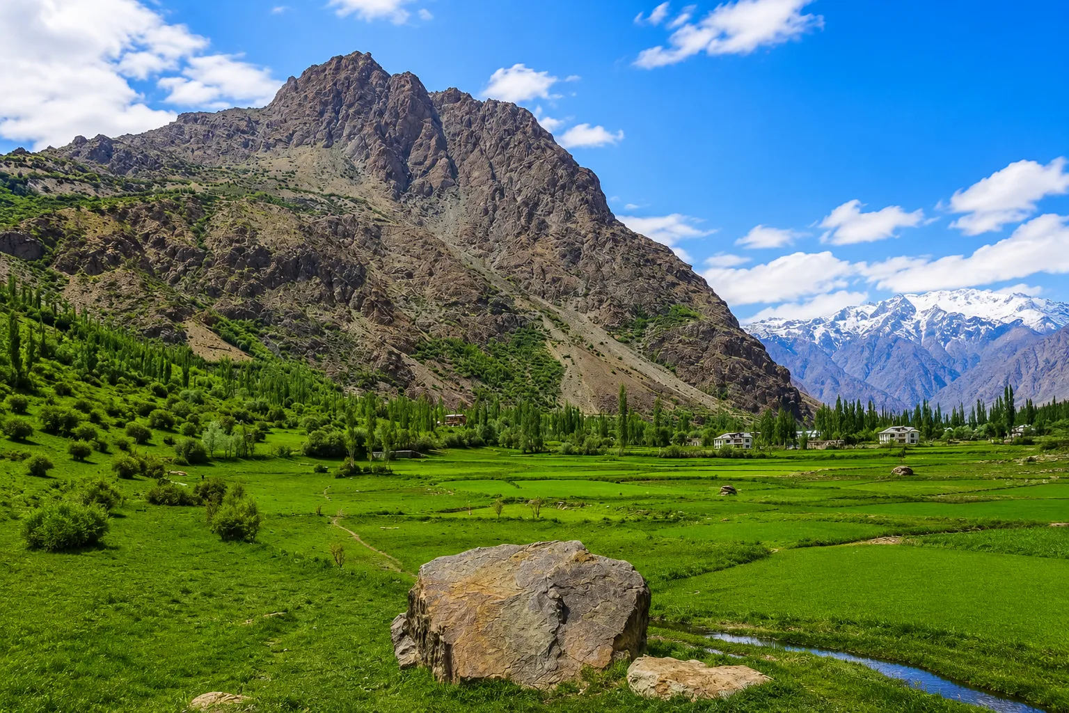
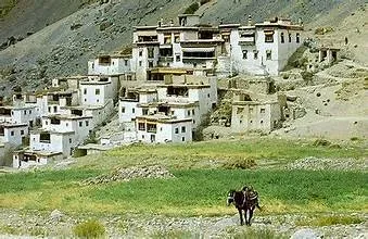
Growing up along the banks of the Suru River, I have watched travelers treat Kargil merely as an overnight transit stop, missing out on some of the most awe-inspiring landscapes in the Himalayas. As you journey south toward Suru Valley, the rocky gorge gradually opens into lush barley fields and willow groves framed by the towering peaks of Mount Nun (7,135m) and Mount Kun (7,077m). The drive to Panikhar spans about 95 km; spending an afternoon at a quiet village homestay watching sunlight play over Nun's icefalls is an unforgettable experience. With a reliable high-clearance vehicle, this route offers the perfect introduction to the untamed wilderness leading into Zanskar.

Drass, Hunderman & The Frontier Valleys

Heading west along NH-1 brings you to Drass, renowned as the second coldest inhabited place on earth. In early summer near the Tololing ridge, crisp mountain winds sweep across alpine riverbeds blooming with wild flora. Just 10 km north of Kargil town lies Hunderman, an abandoned border hamlet nestled against steep granite cliffs where partition-era artifacts and letters are preserved in the Memories of Hunderman museum. Further south past Rangdum, the trail climbs toward Pensi La (4,400m), where the colossal amphitheater of the Drang-Drung Glacier opens up beneath you—a viewpoint that makes every mile along the frontier truly rewarding.
Frequently Asked Questions - Kargil & Ladakh Travel

When is the Srinagar to Leh Highway open?

The Srinagar–Leh Highway (NH-1) typically opens between late March and mid-April and remains open until November. Opening and closing dates depend on snowfall clearance operations by the Border Roads Organisation (BRO) at Zoji La Pass.

Do I need permits to visit Kargil and Zanskar?

No permits are required for Indian domestic travelers visiting Kargil town, Drass, Suru Valley, or Padum in Zanskar. However, Inner Line Permits (ILP) are required for protected border areas like Nubra Valley, Pangong Tso, Tso Moriri, and Hanle.

What is the distance from Kargil to Panikhar and Rangdum in Suru Valley?

It is approximately 95 km from Kargil to Panikhar (a 3 to 4-hour drive) and 140 km to Rangdum (5 to 6 hours). The route follows NH-301 along the Suru River with stunning views of the Nun-Kun massif.

Is fuel available between Kargil and Padum (Zanskar)?

Fuel is very limited along this corridor. Fill your tank in Kargil or at the last petrol pump in Sankoo (42 km from Kargil). After Sankoo, there are no retail fuel stations until you reach Padum, a distance of over 190 km.

What mobile network and connectivity exists in Zanskar?

BSNL and Jio postpaid SIMs offer reliable 4G calling and data in Padum and major Suru Valley settlements. Prepaid SIMs purchased outside Jammu & Kashmir and Ladakh do not work in the region due to telecommunication security regulations.

How do you travel from Kargil to Leh?

Drive 216 km east along NH-1 via Mulbekh, Namika La, Fotu La (4,108m), and Lamayuru. The drive takes 5 to 6 hours by taxi or private vehicle across well-paved, scenic mountain highway.

Where is Drass located and what is its climate like?

Drass is located in the Kargil district of Ladakh along NH-1, approximately 60 km west of Kargil town. Known as the 'Gateway to Ladakh,' it is the second coldest permanently inhabited place in the world, with summer temperatures between 10°C and 22°C.

Can I visit Hunderman Village near Kargil?

Yes, Hunderman is open to visitors and located just 10 km north of Kargil town near the Line of Control. It features the 'Memories of Hunderman' museum showcasing partition-era artifacts and local Balti history.

The Zanskar range is in which state or union territory?

The Zanskar range is situated in the Union Territory of Ladakh, India. It separates Zanskar from the Indus Valley, forming a dramatic natural mountain barrier across the region.

What is the best time of year to visit Kargil and Ladakh?

The best time to visit is from June to September. During these summer months, all major mountain passes including Zoji La and Pensi La are clear of snow, daytime temperatures are comfortable (15°C to 25°C), and high-altitude trekking trails are accessible.

How many districts are there in the Union Territory of Ladakh?

There are two administrative districts in the Union Territory of Ladakh: Leh and Kargil. Both districts are governed with their respective Autonomous Hill Development Councils (LAHDC).

What native trees grow in the high-altitude climate of Ladakh?

The primary trees flourishing along Ladakh's river valleys and irrigated oases include poplars, willows, apricots (chuli), apples, walnuts, and wild mountain junipers.

Which mountain range separates Kashmir from Ladakh?

The Great Himalayan Range separates the Kashmir Valley from Ladakh. Travelers cross this natural barrier via the Zoji La pass along the Srinagar–Leh Highway (NH-1).

Planning a Trip Across Kargil or Zanskar?

Need live road updates, advice on river crossings, or recommendations for authentic village homestays? Connect directly with Zulkarnain for on-ground local guidance.

Reach Out via WhatsApp & Email Check Live Road Conditions →